Satellite-derived bathymetry in Arctic waters
Successfully validated and ready to be used!
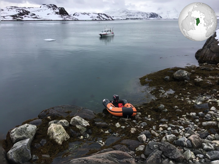 A successful validation in Greenland clearly demonstrated that our satellite-derived bathymetry product also performs very well in Arctic waters. © DHI
The Arctic is a huge and remote place where physical conditions are extremely challenging. This has always affected field campaigns in terms of health and safety issues and with huge associated costs. Consequently, there is still a big lack of detailed up-to-date maps of the arctic coastal zone which significantly affects the navigational safety in the area.
Increased activities in the region due to reasons such as opening of the ice waters, increased tourism and exploration for natural resources is a big cause for concern for both human lives and potential environmental disasters from groundings. Our team at DHI GRAS is working on minimising these risks. With modern satellites and advanced physical modelling of the water column, it is possible to derive reliable water depths in shallow waters at low costs with no risks associated.
DHI GRAS is a leading global provider of satellite-derived bathymetry based on our sensor-independent state-of-the-art physically-based models. Together with local partners in Greenland, we have just completed a validation campaign. Through collection of multibeam echo sounder data, it was clearly demonstrated that our satellite-derived bathymetry product performs very well also in Arctic waters.
Watch this video about the successful validation:
With the abundance of satellite image data sources, such as Sentinel 2 and other commercial data sources such as DigitalGlobe satellites, we are now ready to start large scale production of shallow water bathymetry in Greenland and elsewhere in the Arctic region.
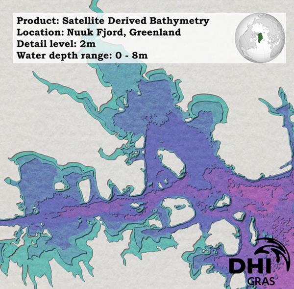
Map illustration of the resulting bathymetry dataset. © DHI
Learn more
Email us at rlb@dhigroup.com if you are interested in validation results and the satellite-derived bathymetry dataset.
Read more