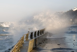
New tool to predict the long-term evolution of coastlines
In collaboration with the Technical University of Denmark (DTU), we have developed a new modelling tool to predict the long-term evolution of coastlines. This new ‘hybrid model’ tool is now being used in commercial projects worldwide.
 In collaboration with the Technical University of Denmark (DTU), we have developed a new modelling tool to predict the long-term evolution of coastlines. This new ‘hybrid model’ tool is now being used in commercial projects worldwide.
Traditionally, coastal engineers use two different tools to calculate the sediment transport in the coastal area:
- a model to calculate the long-term development of the position of the coastline on long and relatively straight shorelines. In this model, structures such as harbours, groynes or breakwaters are included using relatively simple rules which simplify the actual processes near the structures
- a detailed two dimensional (2D) model for computation of the sediment transport field in detail (for example, around coastal structures)
Our new tool integrates the above two models, such that the detailed information from the 2D model can be used in long-term simulations of the shoreline position. The hybrid model can be used to predict the long-term evolution of the shoreline position even in the most complex cases (for instance, on curved shorelines or in areas with large gradients in the bathymetry, where the traditional shoreline model has its weaknesses).
The model was recently presented at the ICE Coasts and Breakwaters 2013, Edinburgh, UK. The full length paper from the conference can be found here.
Read more